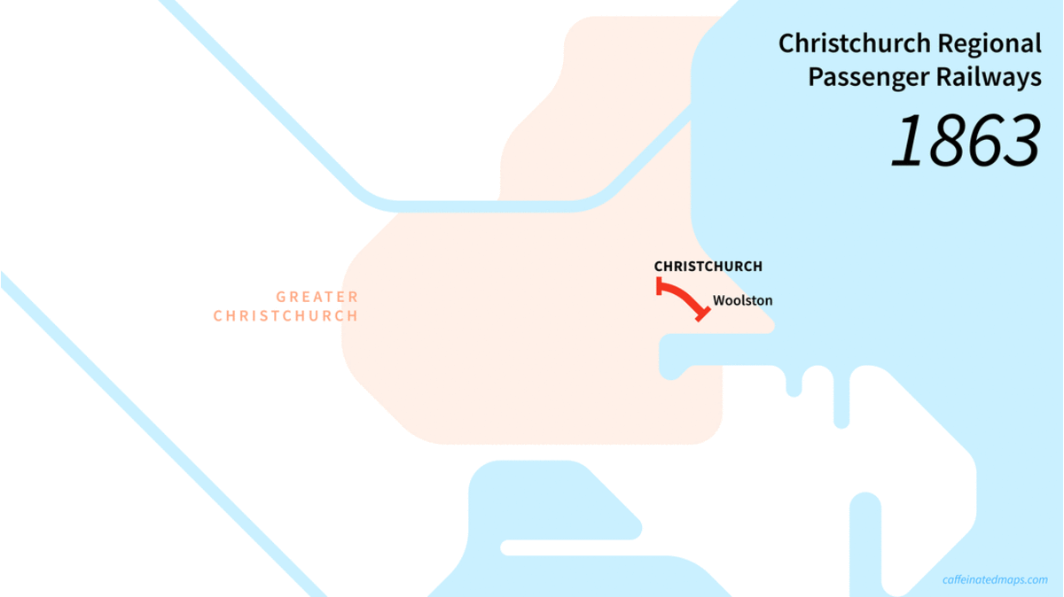
This is a small project I did for Axel of the CHAT Club (Christchurch Housing and Transport). They’re hosting a workshop discussing the future of mass transit in the garden city! This gif just shows the construction sequence of the passenger network; the lines disappeared one by one later on (except infrequent scenic trains from Addington running inland and north).
Also, these maps show only main stops – there were many many more stops on each line. Below is a static image of the full extent:

[Just spotted a mistake before posting – the Riccarton Racecourse stop should be shown as a terminus block rather than the circle interchange… hey ho.]